

Residual Error
Scale - east
Scale - north
Deviation
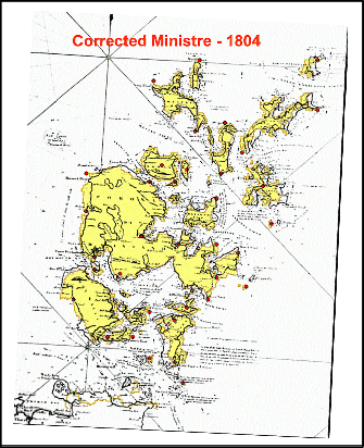
The yellow map indicates the modern shape of Orkney
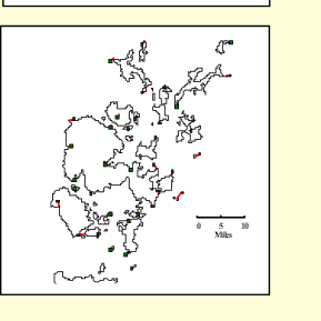
Click on the map to enlarge it
Go to index


Go to next map
Go to original

Go back

17.9
1 : 233,000
1 : 221,000
2.7
Ministre de la Marine - 1804
Carte des Isles Orcades et de la Cote Nord d’Ecosse