

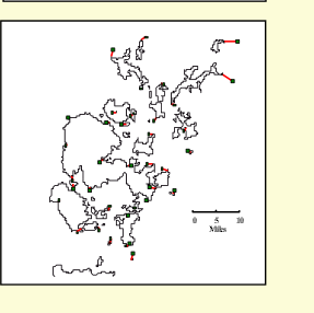
Residual Error
Scale - east
Scale - north
Deviation
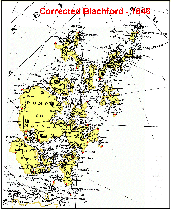
The yellow map indicates the modern shape of Orkney
Click on the map to enlarge it
Go to index


Go to next map
Go to original

Go back

45.4
1 : 345,000
1 : 311,000
2.6
W. Blachford - 1846
A Chart of the North Coast of Scotland including the Orkney and Shetland Islands